 vesseltracker.com
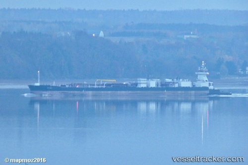
 Sea Power
Current Status
Where is the vessel?
Sea Power is currently in 54 nm E of Fleming, based on AIS data received about 1h ago.
Latest AIS update:
Current position: 31.27452° N, 80.02066° W (54 nm E of Fleming)
Average speed (last 7 days): Loading…
Average speed (last 30 days): Loading…
Vessel profile: Sea Power is a Tug with dimensions 208m x 24m.
This page combines live AIS, route history, probable destination signals, nearby traffic, and port activity for practical vessel monitoring.
The current position of vessel Sea Power is 31.27452 lat / -80.02066 lng. Updated: 2026-05-13 19:28:23 UTCNearest reference points:
- 33 nm S of Kiawah Island
- Near Saint Andrews
- Near Brunswick
Currently sailing under the flag of USA ![]()
Details:
Live Vessel Sea Power Analytics (details, animations, etc.)
Recent AIS points (UTC):
2026-05-13 16:12:46 UTC · 31.73074, -79.63600 · SOG 9.7 kn · COG 214°2026-05-13 17:22:34 UTC · 31.57434, -79.78161 · SOG 10.7 kn · COG 214°
2026-05-13 19:28:23 UTC · 31.27452, -80.02066 · SOG 10.7 kn · COG 206°
2026-05-13 19:28:23 UTC · 31.27452, -80.02066 · SOG 10.7 kn · COG 206°