 vesseltracker.com
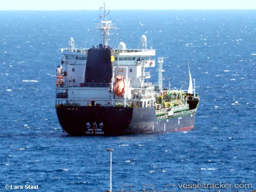
Amber Bay
Current StatusWhere is the vessel?
Amber Bay is currently in Near Port Everglades, based on AIS data received less than 1h ago.
Latest AIS update:
Current position: 26.09339° N, 80.12237° W (Near Port Everglades)
Average speed (last 7 days): Loading…
Average speed (last 30 days): Loading…
Vessel profile: Amber Bay is a Bulk Carrier with dimensions 22m x 146m.
This page combines live AIS, route history, probable destination signals, nearby traffic, and port activity for practical vessel monitoring.
The current position of vessel Amber Bay is 26.09339 lat / -80.12237 lng. Updated: 2026-05-14 19:46:37 UTCNearest reference points:
- Near Port Everglades
- Near Fort Lauderdale
- Near Dania Beach
Details:
Live Vessel Amber Bay Analytics (details, animations, etc.)
Recent AIS points (UTC):
2026-05-14 16:49:37 UTC · 26.09336, -80.12238 · SOG 0 kn · COG 269°2026-05-14 18:04:37 UTC · 26.09338, -80.12239 · SOG 0 kn · COG 269°
2026-05-14 19:37:37 UTC · 26.09341, -80.12237 · SOG 0 kn · COG 269°
2026-05-14 19:46:37 UTC · 26.09339, -80.12237 · SOG 0 kn · COG 269°