 vesseltracker.com
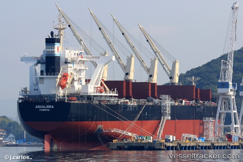
 Aqualibra
Current Status
Where is the vessel?
Aqualibra is currently in Near GLADSTONE, based on AIS data received less than 1h ago.
Latest AIS update:
Current position: 23.79003° S, 151.18002° E (Near GLADSTONE)
Average speed (last 7 days): Loading…
Average speed (last 30 days): Loading…
Vessel profile: Aqualibra is a Bulk Carrier with dimensions 196m x 32m.
This page combines live AIS, route history, probable destination signals, nearby traffic, and port activity for practical vessel monitoring.
The current position of vessel Aqualibra is -23.79003 lat / 151.18002 lng. Updated: 2026-05-14 20:23:10 UTCNearest reference points:
- Near Gladstone Harbor
- Near Boyne Island
- Near ROSSLYN
Currently sailing under the flag of Liberia ![]()
Details:
Live Vessel Aqualibra Analytics (details, animations, etc.)
Recent AIS points (UTC):
2026-05-14 16:53:04 UTC · -23.90656, 151.40166 · SOG 14 kn · COG 303°2026-05-14 17:45:24 UTC · -23.81037, 151.23825 · SOG 10.1 kn · COG 290°
2026-05-14 19:41:06 UTC · -23.79004, 151.18002 · SOG 0 kn · COG 126°
2026-05-14 20:23:10 UTC · -23.79003, 151.18002 · SOG 0 kn · COG 126°