 vesseltracker.com
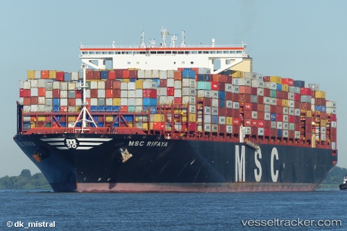
 Msc Rifaya
Current Status
Where is the vessel?
Msc Rifaya is currently in Near JURONG ISLAND, based on AIS data received about 1h ago.
Latest AIS update:
Current position: 1.25421° N, 103.63869° E (Near JURONG ISLAND)
Average speed (last 7 days): Loading…
Average speed (last 30 days): Loading…
Vessel profile: Msc Rifaya is a Container Ship with dimensions 400m x 59m.
This page combines live AIS, route history, probable destination signals, nearby traffic, and port activity for practical vessel monitoring.
The current position of vessel Msc Rifaya is 1.25421 lat / 103.63869 lng. Updated: 2026-05-15 19:32:56 UTCNearest reference points:
- Near JURONG ISLAND
- Near Tuas
- Near Pulau Ayer Chawan
Currently sailing under the flag of Liberia ![]()
Details:
Live Vessel Msc Rifaya Analytics (details, animations, etc.)
Recent AIS points (UTC):
2026-05-15 16:59:51 UTC · 1.25425, 103.63874 · SOG 0 kn · COG 270°2026-05-15 17:38:51 UTC · 1.25423, 103.63863 · SOG 0 kn · COG 270°
2026-05-15 19:04:54 UTC · 1.25333, 103.63833 · SOG 0 kn · COG -1°
2026-05-15 19:32:56 UTC · 1.25421, 103.63869 · SOG 0 kn · COG 270°