 vesseltracker.com
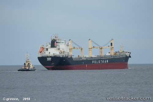
Gardno
Current StatusWhere is the vessel?
Gardno is currently in Near Casablanca, based on AIS data received about 1h ago.
Latest AIS update:
Current position: 33.60335° N, 7.61083° W (Near Casablanca)
Average speed (last 7 days): Loading…
Average speed (last 30 days): Loading…
Vessel profile: Gardno is a General Cargo Ship with dimensions 24m x 200m.
This page combines live AIS, route history, probable destination signals, nearby traffic, and port activity for practical vessel monitoring.
The current position of vessel Gardno is 33.60335 lat / -7.61083 lng. Updated: 2026-05-16 10:09:21 UTCNearest reference points:
- Near Mohammedia
- Near Jorf Lasfar
- 54 nm N of El Jadida
Details:
Live Vessel Gardno Analytics (details, animations, etc.)
Recent AIS points (UTC):
2026-05-16 07:18:20 UTC · 33.60336, -7.61085 · SOG 0 kn · COG 332°2026-05-16 07:45:21 UTC · 33.60335, -7.61086 · SOG 0 kn · COG 332°
2026-05-16 10:03:22 UTC · 33.60337, -7.61084 · SOG 0 kn · COG 332°
2026-05-16 10:09:21 UTC · 33.60335, -7.61083 · SOG 0 kn · COG 332°