 vesseltracker.com
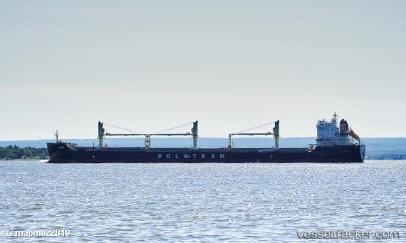
 Narie
Narie
Current Status
Where is the vessel?
Narie is currently in 30 nm N of Harbor Beach, based on AIS data received less than 1h ago.
Latest AIS update:
Current position: 44.35667° N, 82.62333° W (30 nm N of Harbor Beach)
Average speed (last 7 days): Loading…
Average speed (last 30 days): Loading…
Vessel profile: Narie is a General Cargo Ship with dimensions 200m x 24m.
This page combines live AIS, route history, probable destination signals, nearby traffic, and port activity for practical vessel monitoring.
The current position of vessel Narie is 44.35667 lat / -82.62333 lng. Updated: 2026-04-30 04:17:56 UTCNearest reference points:
- Near Fort Gratiot
- Near Meldrum
- Near Saint Clair Shores
Currently sailing under the flag of Bahamas ![]()
Details:
Live Vessel Narie Analytics (details, animations, etc.)
Recent AIS points (UTC):
2026-04-30 01:26:48 UTC · 44.92155, -82.89578 · SOG 12.5 kn · COG 159°2026-04-30 02:05:58 UTC · 44.79167, -82.83333 · SOG 12 kn · COG -1°
2026-04-30 03:23:55 UTC · 44.53333, -82.70833 · SOG 12 kn · COG -1°
2026-04-30 04:17:56 UTC · 44.35667, -82.62333 · SOG 12 kn · COG -1°