 vesseltracker.com
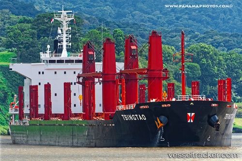
 PAN FORTUNE
Current Status
Where is the vessel?
PAN FORTUNE is currently in Near PORTLAND-AU, based on AIS data received about 1h ago.
Latest AIS update:
Current position: 38.34802° S, 141.62160° E (Near PORTLAND-AU)
Average speed (last 7 days): Loading…
Average speed (last 30 days): Loading…
Vessel profile: PAN FORTUNE is a Bulk Carrier with dimensions 180m x 30m.
This page combines live AIS, route history, probable destination signals, nearby traffic, and port activity for practical vessel monitoring.
The current position of vessel PAN FORTUNE is -38.34802 lat / 141.62160 lng. Updated: 2026-04-27 23:45:59 UTCCurrently sailing under the flag of Korea (Republic of) ![]()
PAN FORTUNE built in 2016 year
Deadweight:
37657 tDetails:
Live Vessel PAN FORTUNE Analytics (details, animations, etc.)
Recent AIS points (UTC):
2026-04-27 20:18:51 UTC · -38.34801, 141.62154 · SOG 0 kn · COG 18°2026-04-27 22:12:51 UTC · -38.34805, 141.62160 · SOG 0 kn · COG 18°
2026-04-27 22:51:53 UTC · -38.34801, 141.62161 · SOG 0 kn · COG 18°
2026-04-27 23:45:59 UTC · -38.34802, 141.62160 · SOG 0 kn · COG 18°