 vesseltracker.com
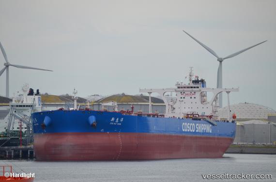
Xin Hui Yang
Current StatusWhere is the vessel?
Xin Hui Yang is currently in 22 nm S of Azurite, based on AIS data received less than 1h ago.
Latest AIS update:
Current position: 5.98724° S, 10.88939° E (22 nm S of Azurite)
Average speed (last 7 days): Loading…
Average speed (last 30 days): Loading…
Vessel profile: Xin Hui Yang is a Crude Oil Tanker with dimensions 60m x 333m.
This page combines live AIS, route history, probable destination signals, nearby traffic, and port activity for practical vessel monitoring.
The current position of vessel Xin Hui Yang is -5.98724 lat / 10.88939 lng. Updated: 2026-04-28 06:06:51 UTCNearest reference points:
- Near N'Kossa Terminal
- 11 nm W of Cabinda
- Near SOYO
Details:
Live Vessel Xin Hui Yang Analytics (details, animations, etc.)
Recent AIS points (UTC):
2026-04-28 02:27:35 UTC · -6.01774, 10.84385 · SOG 0.6 kn · COG 76°2026-04-28 03:51:01 UTC · -6.03034, 10.84451 · SOG 3.3 kn · COG 50°
2026-04-28 04:44:43 UTC · -5.97130, 10.89115 · SOG 0.5 kn · COG 65°
2026-04-28 06:06:51 UTC · -5.98724, 10.88939 · SOG 0.5 kn · COG 157°