 vesseltracker.com
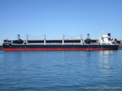
 GOOD CARRY
Current Status
Where is the vessel?
GOOD CARRY is currently in Near CAM PHA, based on AIS data received less than 1h ago.
Latest AIS update:
Current position: 20.94906° N, 107.31412° E (Near CAM PHA)
Average speed (last 7 days): Loading…
Average speed (last 30 days): Loading…
Vessel profile: GOOD CARRY is a Cargo with dimensions m x m.
This page combines live AIS, route history, probable destination signals, nearby traffic, and port activity for practical vessel monitoring.
The current position of vessel GOOD CARRY is 20.94906 lat / 107.31412 lng. Updated: 2026-05-14 14:25:27 UTCNearest reference points:
- 13 nm E of Campha
- 18 nm SE of Ha Long
- 14 nm SE of Nam Hai Dinh Vu Port
Currently sailing under the flag of Marshall Islands ![]()
Details:
Live Vessel GOOD CARRY Analytics (details, animations, etc.)
Recent AIS points (UTC):
2026-05-14 10:46:27 UTC · 20.94752, 107.31330 · SOG 0 kn · COG 80°2026-05-14 12:19:32 UTC · 20.94760, 107.31369 · SOG 0.1 kn · COG 82°
2026-05-14 13:25:26 UTC · 20.94805, 107.31348 · SOG 0.1 kn · COG 89°
2026-05-14 14:25:27 UTC · 20.94906, 107.31412 · SOG 0.1 kn · COG 135°