 vesseltracker.com
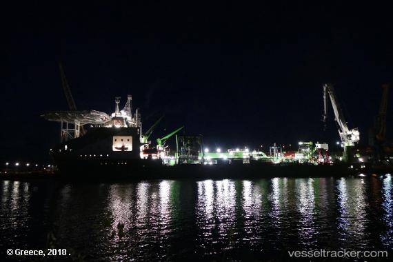
 Living Stone
Current Status
Where is the vessel?
Living Stone is currently in 35 nm E of Cape Henry, based on AIS data received less than 1h ago.
Latest AIS update:
Current position: 36.99420° N, 75.29920° W (35 nm E of Cape Henry)
Average speed (last 7 days): Loading…
Average speed (last 30 days): Loading…
Vessel profile: Living Stone is a Cable Layer with dimensions 161m x 32m.
This page combines live AIS, route history, probable destination signals, nearby traffic, and port activity for practical vessel monitoring.
The current position of vessel Living Stone is 36.99420 lat / -75.29920 lng. Updated: 2026-05-15 17:54:56 UTCNearest reference points:
- 26 nm E of Corolla
- 45 nm NE of Nags Head
- Near New Point
Currently sailing under the flag of Netherlands ![]()
Details:
Live Vessel Living Stone Analytics (details, animations, etc.)
Recent AIS points (UTC):
2026-05-15 13:33:38 UTC · 36.99333, -75.29167 · SOG 1 kn · COG -1°2026-05-15 16:06:18 UTC · 36.99265, -75.28842 · SOG 0.4 kn · COG 270°
2026-05-15 16:19:07 UTC · 36.99225, -75.29006 · SOG 0.4 kn · COG 270°
2026-05-15 17:54:56 UTC · 36.99420, -75.29920 · SOG 0.2 kn · COG 330°