 vesseltracker.com
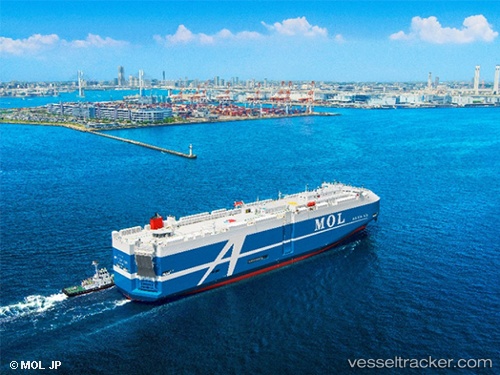
Beluga Ace
Current StatusWhere is the vessel?
Beluga Ace is currently in 56 nm S of Slipi, based on AIS data received about 4h ago.
Latest AIS update:
Current position: 5.25500° N, 106.88667° E (56 nm S of Slipi)
Average speed (last 7 days): Loading…
Average speed (last 30 days): Loading…
Vessel profile: Beluga Ace is a Vehicles Carrier with dimensions 32m x 200m.
This page combines live AIS, route history, probable destination signals, nearby traffic, and port activity for practical vessel monitoring.
The current position of vessel Beluga Ace is 5.25500 lat / 106.88667 lng. Updated: 2026-05-14 23:21:39 UTCNearest reference points:
- 46 nm E of Kakap Natuna Terminal
- 45 nm E of Kakap Natuna Terminal
- 36 nm SW of Slipi
Details:
Live Vessel Beluga Ace Analytics (details, animations, etc.)
Recent AIS points (UTC):
2026-05-14 19:36:40 UTC · 4.40833, 106.27333 · SOG 16 kn · COG -1°2026-05-14 22:06:40 UTC · 4.96833, 106.68167 · SOG 16 kn · COG -1°
2026-05-14 22:27:39 UTC · 5.04667, 106.74166 · SOG 16 kn · COG -1°
2026-05-14 23:21:39 UTC · 5.25500, 106.88667 · SOG 16 kn · COG -1°