 vesseltracker.com
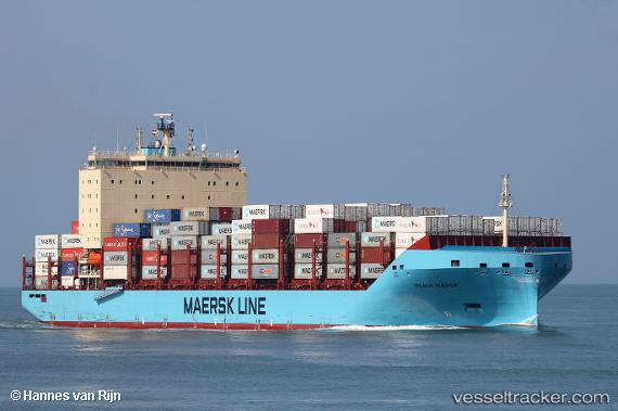
 Vilnia Maersk
Current Status
Where is the vessel?
Vilnia Maersk is currently in Near Neuendorf-Hiddensee, based on AIS data received about 1h ago.
Latest AIS update:
Current position: 54.86683° N, 13.38175° E (Near Neuendorf-Hiddensee)
Average speed (last 7 days): Loading…
Average speed (last 30 days): Loading…
Vessel profile: Vilnia Maersk is a Container Ship with dimensions 200m x 36m.
This page combines live AIS, route history, probable destination signals, nearby traffic, and port activity for practical vessel monitoring.
The current position of vessel Vilnia Maersk is 54.86683 lat / 13.38175 lng. Updated: 2026-05-15 17:53:10 UTCNearest reference points:
- Near Breege
- Near Glowe
- Near Trelleborg
Currently sailing under the flag of Denmark ![]()
Details:
Live Vessel Vilnia Maersk Analytics (details, animations, etc.)
Recent AIS points (UTC):
2026-05-15 13:29:46 UTC · 54.50367, 11.44860 · SOG 18.7 kn · COG 123°2026-05-15 15:33:10 UTC · 54.58242, 12.30342 · SOG 18.2 kn · COG 25°
2026-05-15 16:39:11 UTC · 54.74892, 12.78583 · SOG 17.5 kn · COG 69°
2026-05-15 17:53:10 UTC · 54.86683, 13.38175 · SOG 17.6 kn · COG 73°