 vesseltracker.com
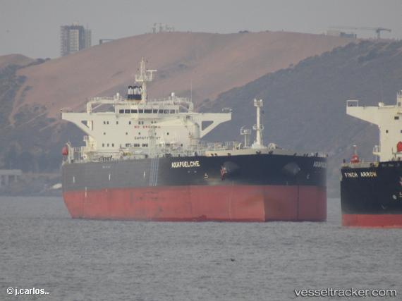
 CABO TAMAR
Current Status
Where is the vessel?
CABO TAMAR is currently in Near QUINTERO, based on AIS data received less than 1h ago.
Latest AIS update:
Current position: 32.76245° S, 71.51499° W (Near QUINTERO)
Average speed (last 7 days): Loading…
Average speed (last 30 days): Loading…
Vessel profile: CABO TAMAR is a Tanker with dimensions m x m.
This page combines live AIS, route history, probable destination signals, nearby traffic, and port activity for practical vessel monitoring.
The current position of vessel CABO TAMAR is -32.76245 lat / -71.51499 lng. Updated: 2026-05-15 17:55:11 UTCNearest reference points:
- Near Valparaiso
- 28 nm W of Pichilemu
- 100 nm W of Curauma
Details:
Live Vessel CABO TAMAR Analytics (details, animations, etc.)
Recent AIS points (UTC):
2026-05-15 13:49:22 UTC · -32.75893, -71.51434 · SOG 1.8 kn · COG 179°2026-05-15 16:04:13 UTC · -32.76282, -71.51506 · SOG 0.1 kn · COG 280°
2026-05-15 16:19:13 UTC · -32.76255, -71.51501 · SOG 0 kn · COG 278°
2026-05-15 17:55:11 UTC · -32.76245, -71.51499 · SOG 0 kn · COG 272°