 vesseltracker.com
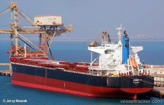
Jimmy T
Current StatusWhere is the vessel?
Jimmy T is currently in 164 nm N of Melekeok, based on AIS data received less than 1h ago.
Latest AIS update:
Current position: 10.18513° N, 134.28397° E (164 nm N of Melekeok)
Average speed (last 7 days): Loading…
Average speed (last 30 days): Loading…
Vessel profile: Jimmy T is a Bulk Carrier with dimensions 32m x 228m.
This page combines live AIS, route history, probable destination signals, nearby traffic, and port activity for practical vessel monitoring.
The current position of vessel Jimmy T is 10.18513 lat / 134.28397 lng. Updated: 2026-05-14 19:15:08 UTCDetails:
Live Vessel Jimmy T Analytics (details, animations, etc.)
Recent AIS points (UTC):
2026-05-14 16:54:48 UTC · 10.55474, 134.00398 · SOG 11.9 kn · COG 140°2026-05-14 17:29:07 UTC · 10.46485, 134.07310 · SOG 11.7 kn · COG 140°
2026-05-14 19:15:08 UTC · 10.18513, 134.28397 · SOG 11.9 kn · COG 139°
2026-05-14 19:15:08 UTC · 10.18513, 134.28397 · SOG 11.9 kn · COG 139°