 vesseltracker.com
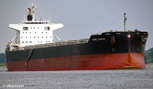
 BOYANG TAURUS
Current Status
Where is the vessel?
BOYANG TAURUS is currently in 112 nm N of El Jadida, based on AIS data received about 2h ago.
Latest AIS update:
Current position: 35.02092° N, 9.23930° W (112 nm N of El Jadida)
Average speed (last 7 days): Loading…
Average speed (last 30 days): Loading…
Vessel profile: BOYANG TAURUS is a Cargo with dimensions m x m.
This page combines live AIS, route history, probable destination signals, nearby traffic, and port activity for practical vessel monitoring.
The current position of vessel BOYANG TAURUS is 35.02092 lat / -9.23930 lng. Updated: 2026-05-17 19:44:39 UTCNearest reference points:
- 112 nm N of El Jadida
- 54 nm N of El Jadida
- 44 nm NW of El Jadida
Currently sailing under the flag of South Korea ![]()
Details:
Live Vessel BOYANG TAURUS Analytics (details, animations, etc.)
Recent AIS points (UTC):
2026-05-17 15:51:12 UTC · 35.30638, -8.32119 · SOG 12.5 kn · COG 250°2026-05-17 17:36:58 UTC · 35.16777, -8.73633 · SOG 12.4 kn · COG 255°
2026-05-17 19:30:57 UTC · 35.03724, -9.18538 · SOG 12.5 kn · COG 255°
2026-05-17 19:44:39 UTC · 35.02092, -9.23930 · SOG 12.4 kn · COG 255°