 vesseltracker.com
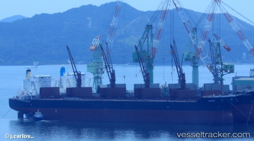
Alani
Current StatusWhere is the vessel?
Alani is currently in 78 nm E of Iturup, based on AIS data received less than 1h ago.
Latest AIS update:
Current position: 44.90617° N, 149.81062° E (78 nm E of Iturup)
Average speed (last 7 days): Loading…
Average speed (last 30 days): Loading…
Vessel profile: Alani is a Bulk Carrier with dimensions 32m x 199m.
This page combines live AIS, route history, probable destination signals, nearby traffic, and port activity for practical vessel monitoring.
The current position of vessel Alani is 44.90617 lat / 149.81062 lng. Updated: 2026-05-14 15:53:02 UTCDetails:
Live Vessel Alani Analytics (details, animations, etc.)
Recent AIS points (UTC):
2026-05-14 11:38:41 UTC · 45.44786, 150.69141 · SOG 12.4 kn · COG 228°2026-05-14 12:59:25 UTC · 45.26407, 150.40408 · SOG 11.6 kn · COG 219°
2026-05-14 13:52:17 UTC · 45.14890, 150.22914 · SOG 11.4 kn · COG 223°
2026-05-14 15:53:02 UTC · 44.90617, 149.81062 · SOG 11.4 kn · COG 236°