 vesseltracker.com
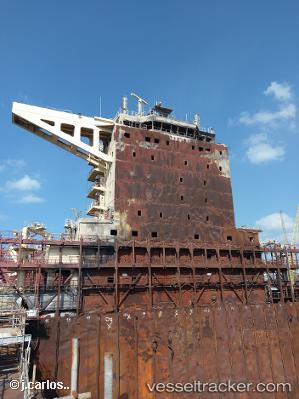
Maersk Halifax St
Current StatusWhere is the vessel?
Maersk Halifax St is currently in 24 nm S of Putian, based on AIS data received about 2h ago.
Latest AIS update:
Current position: 24.05783° N, 118.85699° E (24 nm S of Putian)
Average speed (last 7 days): Loading…
Average speed (last 30 days): Loading…
Vessel profile: Maersk Halifax St is a Container Ship with dimensions 54m x 353m.
This page combines live AIS, route history, probable destination signals, nearby traffic, and port activity for practical vessel monitoring.
The current position of vessel Maersk Halifax St is 24.05783 lat / 118.85699 lng. Updated: 2026-05-02 17:52:58 UTCNearest reference points:
- 18 nm SW of Putian
- Near Putian
- 11 nm W of Putian
Details:
Live Vessel Maersk Halifax St Analytics (details, animations, etc.)
Recent AIS points (UTC):
2026-05-02 13:48:52 UTC · 24.91117, 119.93009 · SOG 19 kn · COG 228°2026-05-02 15:53:28 UTC · 24.48037, 119.40032 · SOG 19.2 kn · COG 227°
2026-05-02 16:33:11 UTC · 24.33039, 119.22991 · SOG 19.8 kn · COG 220°
2026-05-02 17:52:58 UTC · 24.05783, 118.85699 · SOG 20.1 kn · COG 223°