 vesseltracker.com
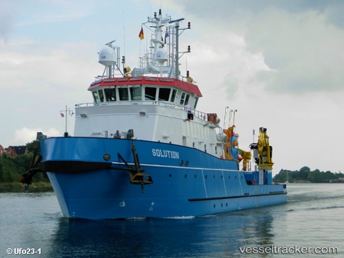
Offshore Solution
Current StatusWhere is the vessel?
Offshore Solution is currently in Near Prelude, based on AIS data received less than 1h ago.
Latest AIS update:
Current position: 13.86070° S, 123.27610° E (Near Prelude)
Average speed (last 7 days): Loading…
Average speed (last 30 days): Loading…
Vessel profile: Offshore Solution is a Offshore Support Vessel with dimensions 11m x 55m.
This page combines live AIS, route history, probable destination signals, nearby traffic, and port activity for practical vessel monitoring.
The current position of vessel Offshore Solution is -13.86070 lat / 123.27610 lng. Updated: 2026-03-31 04:07:38 UTCNearest reference points:
- Near Prelude
- 23 nm E of Yampi Sound
- 65 nm E of Front Puffin FPSO
Details:
Live Vessel Offshore Solution Analytics (details, animations, etc.)
Recent AIS points (UTC):
2026-03-30 21:25:30 UTC · -13.86031, 123.26463 · SOG 0 kn · COG 240°2026-03-30 23:42:08 UTC · -13.86029, 123.26467 · SOG 0 kn · COG 280°
2026-03-31 01:55:40 UTC · -13.86150, 123.26963 · SOG 0.8 kn · COG 270°
2026-03-31 04:07:38 UTC · -13.86070, 123.27610 · SOG 0 kn · COG 64°