 vesseltracker.com
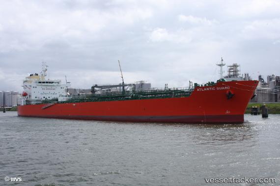
Atlantic Guard
Current StatusWhere is the vessel?
Atlantic Guard is currently in 71 nm E of MADANG, based on AIS data received about 1h ago.
Latest AIS update:
Current position: 5.53333° S, 146.95500° E (71 nm E of MADANG)
Average speed (last 7 days): Loading…
Average speed (last 30 days): Loading…
Vessel profile: Atlantic Guard is a Chemical Oil Products Tanker with dimensions 32m x 183m.
This page combines live AIS, route history, probable destination signals, nearby traffic, and port activity for practical vessel monitoring.
The current position of vessel Atlantic Guard is -5.53333 lat / 146.95500 lng. Updated: 2026-05-16 06:07:17 UTCNearest reference points:
- Near Lae
- 42 nm E of Tami Island
Details:
Live Vessel Atlantic Guard Analytics (details, animations, etc.)
Recent AIS points (UTC):
2026-05-16 02:10:15 UTC · -6.00333, 147.81667 · SOG 15 kn · COG -1°2026-05-16 03:46:18 UTC · -5.80833, 147.44833 · SOG 15 kn · COG -1°
2026-05-16 04:20:07 UTC · -5.73894, 147.32053 · SOG 15.3 kn · COG 298°
2026-05-16 06:07:17 UTC · -5.53333, 146.95500 · SOG 14 kn · COG -1°