 vesseltracker.com
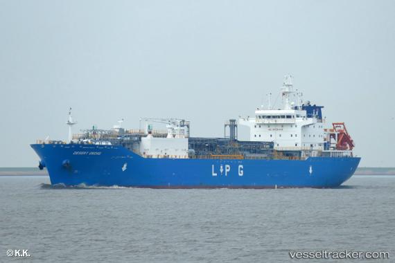
 INTREPID
Current Status
Where is the vessel?
INTREPID is currently in 36 nm W of Azenhas do Mar, based on AIS data received about 2h ago.
Latest AIS update:
Current position: 38.83122° N, 10.20950° W (36 nm W of Azenhas do Mar)
Average speed (last 7 days): Loading…
Average speed (last 30 days): Loading…
Vessel profile: INTREPID is a Tanker with dimensions m x m.
This page combines live AIS, route history, probable destination signals, nearby traffic, and port activity for practical vessel monitoring.
The current position of vessel INTREPID is 38.83122 lat / -10.20950 lng. Updated: 2026-05-14 19:14:24 UTCNearest reference points:
- 18 nm W of Colares
- Near CASCAIS
- Near PENICHE
Currently sailing under the flag of Marshall Islands ![]()
Details:
Live Vessel INTREPID Analytics (details, animations, etc.)
Recent AIS points (UTC):
2026-05-14 16:35:02 UTC · 39.52862, -10.21296 · SOG 15.8 kn · COG 180°2026-05-14 18:03:08 UTC · 39.14363, -10.21292 · SOG 16.4 kn · COG 181°
2026-05-14 19:04:45 UTC · 38.87180, -10.21372 · SOG 15.6 kn · COG 173°
2026-05-14 19:14:24 UTC · 38.83122, -10.20950 · SOG 15.5 kn · COG 174°