 vesseltracker.com
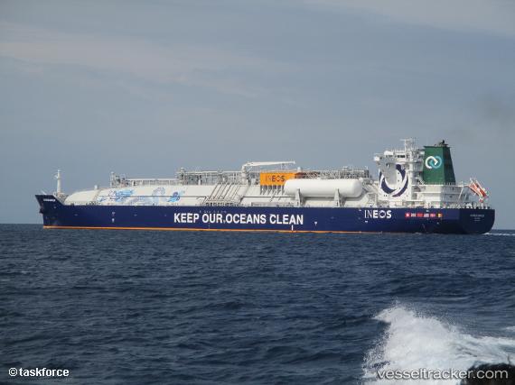
Js Ineos Marlin
Current StatusWhere is the vessel?
Js Ineos Marlin is currently in 94 nm SE of Saint-Philippe, based on AIS data received less than 1h ago.
Latest AIS update:
Current position: 22.13333° S, 57.23167° E (94 nm SE of Saint-Philippe)
Average speed (last 7 days): Loading…
Average speed (last 30 days): Loading…
Vessel profile: Js Ineos Marlin is a Container Ship with dimensions 36m x 232m.
This page combines live AIS, route history, probable destination signals, nearby traffic, and port activity for practical vessel monitoring.
The current position of vessel Js Ineos Marlin is -22.13333 lat / 57.23167 lng. Updated: 2026-05-14 07:51:19 UTCNearest reference points:
- 61 nm NW of Al Azaiba
- Near Port Louis
- 129 nm W of Al Azaiba
Details:
Live Vessel Js Ineos Marlin Analytics (details, animations, etc.)
Recent AIS points (UTC):
2026-05-14 04:01:16 UTC · -22.69320, 56.49637 · SOG 13.8 kn · COG 53°2026-05-14 04:59:54 UTC · -22.55167, 56.68167 · SOG 14 kn · COG -1°
2026-05-14 06:10:36 UTC · -22.38092, 56.90658 · SOG 13.9 kn · COG 50°
2026-05-14 07:51:19 UTC · -22.13333, 57.23167 · SOG 14 kn · COG -1°