 vesseltracker.com
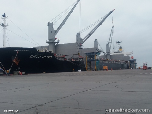
 Cielo Di Iyo
Current Status
Where is the vessel?
Cielo Di Iyo is currently in 74 nm SW of Dokdo, based on AIS data received about 4h ago.
Latest AIS update:
Current position: 36.09763° N, 131.23470° E (74 nm SW of Dokdo)
Average speed (last 7 days): Loading…
Average speed (last 30 days): Loading…
Vessel profile: Cielo Di Iyo is a Bulk Carrier with dimensions 183m x 30m.
This page combines live AIS, route history, probable destination signals, nearby traffic, and port activity for practical vessel monitoring.
The current position of vessel Cielo Di Iyo is 36.09763 lat / 131.23470 lng. Updated: 2026-04-05 19:53:15 UTCNearest reference points:
- 67 nm W of NAKANOSHIMA
- 63 nm NW of Unnan
- 39 nm N of Iwami
Currently sailing under the flag of Panama ![]()
Details:
Live Vessel Cielo Di Iyo Analytics (details, animations, etc.)
Recent AIS points (UTC):
2026-04-05 16:55:44 UTC · 36.42977, 131.70518 · SOG 10.9 kn · COG 230°2026-04-05 16:55:44 UTC · 36.42977, 131.70518 · SOG 10.9 kn · COG 230°
2026-04-05 19:53:15 UTC · 36.09763, 131.23470 · SOG 9.8 kn · COG 232°
2026-04-05 19:53:15 UTC · 36.09763, 131.23470 · SOG 9.8 kn · COG 232°