 vesseltracker.com
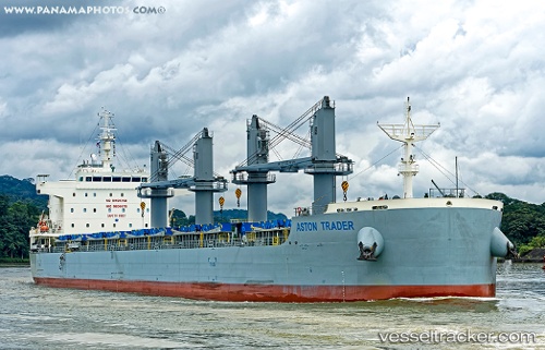
 AEGEAN BAY
Current Status
Where is the vessel?
AEGEAN BAY is currently in 18 nm NE of HANSTHOLM, based on AIS data received about 1h ago.
Latest AIS update:
Current position: 57.37796° N, 8.87044° E (18 nm NE of HANSTHOLM)
Average speed (last 7 days): Loading…
Average speed (last 30 days): Loading…
Vessel profile: AEGEAN BAY is a Cargo with dimensions m x m.
This page combines live AIS, route history, probable destination signals, nearby traffic, and port activity for practical vessel monitoring.
The current position of vessel AEGEAN BAY is 57.37796 lat / 8.87044 lng. Updated: 2026-05-01 11:32:28 UTCNearest reference points:
- 27 nm N of HANSTHOLM
- 28 nm NW of Lokken
- Near HANSTHOLM
Currently sailing under the flag of Marshall Islands ![]()
Details:
Live Vessel AEGEAN BAY Analytics (details, animations, etc.)
Recent AIS points (UTC):
2026-05-01 08:08:00 UTC · 57.70090, 9.82082 · SOG 10.7 kn · COG 239°2026-05-01 09:43:59 UTC · 57.54995, 9.36402 · SOG 10.7 kn · COG 240°
2026-05-01 10:57:49 UTC · 57.43142, 9.02807 · SOG 10.3 kn · COG 241°
2026-05-01 11:32:28 UTC · 57.37796, 8.87044 · SOG 10.5 kn · COG 238°