 vesseltracker.com
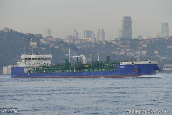
 GANJA
GANJA
Current Status
Where is the vessel?
GANJA is currently in 36 nm NE of Tubruq, based on AIS data received less than 1h ago.
Latest AIS update:
Current position: 32.61167° N, 24.31333° E (36 nm NE of Tubruq)
Average speed (last 7 days): Loading…
Average speed (last 30 days): Loading…
Vessel profile: GANJA is a Tanker with dimensions m x m.
This page combines live AIS, route history, probable destination signals, nearby traffic, and port activity for practical vessel monitoring.
The current position of vessel GANJA is 32.61167 lat / 24.31333 lng. Updated: 2026-05-16 11:18:30 UTCNearest reference points:
- 67 nm S of Kali Limenes
- Near Kali Limenes
- 59 nm W of Paleochora
Currently sailing under the flag of Panama ![]()
Details:
Live Vessel GANJA Analytics (details, animations, etc.)
Recent AIS points (UTC):
2026-05-16 08:25:31 UTC · 32.60047, 24.30574 · SOG 0.2 kn · COG 231°2026-05-16 09:23:50 UTC · 32.60423, 24.31155 · SOG 0.4 kn · COG 228°
2026-05-16 10:48:29 UTC · 32.60833, 24.31500 · SOG 0 kn · COG -1°
2026-05-16 11:18:30 UTC · 32.61167, 24.31333 · SOG 0 kn · COG -1°