 vesseltracker.com
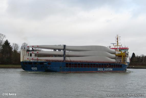
 ARAMIS
Current Status
Where is the vessel?
ARAMIS is currently in 10 nm W of Marmara Adasi, based on AIS data received less than 1h ago.
Latest AIS update:
Current position: 40.62032° N, 27.33563° E (10 nm W of Marmara Adasi)
Average speed (last 7 days): Loading…
Average speed (last 30 days): Loading…
Vessel profile: ARAMIS is a Cargo with dimensions m x m.
This page combines live AIS, route history, probable destination signals, nearby traffic, and port activity for practical vessel monitoring.
The current position of vessel ARAMIS is 40.62032 lat / 27.33563 lng. Updated: 2026-05-14 01:33:07 UTCNearest reference points:
- Near Sarköy
- Near Saraylar
- Near Marmara Adasi
Currently sailing under the flag of Portugal ![]()
Details:
Live Vessel ARAMIS Analytics (details, animations, etc.)
Recent AIS points (UTC):
2026-05-13 21:34:17 UTC · 40.31342, 26.60607 · SOG 9.5 kn · COG 48°2026-05-13 22:43:57 UTC · 40.43680, 26.77912 · SOG 9.3 kn · COG 66°
2026-05-14 00:11:07 UTC · 40.53019, 27.06234 · SOG 9.8 kn · COG 70°
2026-05-14 01:33:07 UTC · 40.62032, 27.33563 · SOG 9.7 kn · COG 67°