 vesseltracker.com
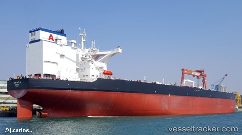
Almi Atlas
Current StatusWhere is the vessel?
Almi Atlas is currently in 218 nm N of Porto Grande, based on AIS data received about 1h ago.
Latest AIS update:
Current position: 20.51102° N, 25.18677° W (218 nm N of Porto Grande)
Average speed (last 7 days): Loading…
Average speed (last 30 days): Loading…
Vessel profile: Almi Atlas is a Crude Oil Tanker with dimensions 60m x 336m.
This page combines live AIS, route history, probable destination signals, nearby traffic, and port activity for practical vessel monitoring.
The current position of vessel Almi Atlas is 20.51102 lat / -25.18677 lng. Updated: 2026-05-15 10:32:29 UTCNearest reference points:
- 138 nm N of Porto Grande
- 129 nm N of Mindelo
- 102 nm N of Porto Grande
Details:
Live Vessel Almi Atlas Analytics (details, animations, etc.)
Recent AIS points (UTC):
2026-05-15 07:29:18 UTC · 19.89932, -25.40808 · SOG 12.4 kn · COG 21°2026-05-15 07:52:47 UTC · 19.97772, -25.38104 · SOG 12.6 kn · COG 23°
2026-05-15 10:22:18 UTC · 20.47659, -25.19932 · SOG 12.8 kn · COG 21°
2026-05-15 10:32:29 UTC · 20.51102, -25.18677 · SOG 12.9 kn · COG 21°