 vesseltracker.com
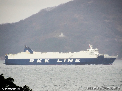
 Niraikanai 2
Current Status
Where is the vessel?
Niraikanai 2 is currently in 42 nm S of HAMAJIMA, based on AIS data received less than 1h ago.
Latest AIS update:
Current position: 33.59905° N, 136.72256° E (42 nm S of HAMAJIMA)
Average speed (last 7 days): Loading…
Average speed (last 30 days): Loading…
Vessel profile: Niraikanai 2 is a Vehicles Carrier with dimensions 182m x 182m.
This page combines live AIS, route history, probable destination signals, nearby traffic, and port activity for practical vessel monitoring.
The current position of vessel Niraikanai 2 is 33.59905 lat / 136.72256 lng. Updated: 2026-05-14 11:02:50 UTCNearest reference points:
- 20 nm S of HAMAJIMA
- Near TOBA
- 12 nm E of TOBA
Currently sailing under the flag of Japan ![]()
Details:
Live Vessel Niraikanai 2 Analytics (details, animations, etc.)
Recent AIS points (UTC):
2026-05-14 07:36:38 UTC · 33.48743, 135.39250 · SOG 18.4 kn · COG 130°2026-05-14 07:53:03 UTC · 33.43477, 135.47485 · SOG 19.5 kn · COG 135°
2026-05-14 10:26:44 UTC · 33.52569, 136.50230 · SOG 20.7 kn · COG 67°
2026-05-14 11:02:50 UTC · 33.59905, 136.72256 · SOG 19.3 kn · COG 67°