 vesseltracker.com
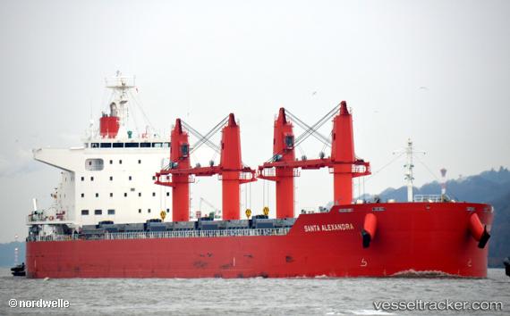
Santa Alexandra
Current StatusWhere is the vessel?
Santa Alexandra is currently in Near Sauda, based on AIS data received less than 1h ago.
Latest AIS update:
Current position: 59.64537° N, 6.35670° E (Near Sauda)
Average speed (last 7 days): Loading…
Average speed (last 30 days): Loading…
Vessel profile: Santa Alexandra is a Bulk Carrier with dimensions 32m x 199m.
This page combines live AIS, route history, probable destination signals, nearby traffic, and port activity for practical vessel monitoring.
The current position of vessel Santa Alexandra is 59.64537 lat / 6.35670 lng. Updated: 2026-05-14 20:04:02 UTCNearest reference points:
- Near ROSENDAL
- Near Halsnøy
- Near OMASTRANDA
Details:
Live Vessel Santa Alexandra Analytics (details, animations, etc.)
Recent AIS points (UTC):
2026-05-14 16:16:09 UTC · 59.64538, 6.35672 · SOG 0 kn · COG 307°2026-05-14 17:25:05 UTC · 59.64539, 6.35674 · SOG 0 kn · COG 307°
2026-05-14 19:43:07 UTC · 59.64538, 6.35670 · SOG 0 kn · COG 307°
2026-05-14 20:04:02 UTC · 59.64537, 6.35670 · SOG 0 kn · COG 307°