 vesseltracker.com
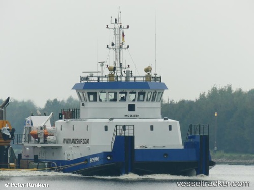
 WENNA
WENNA
Current Status
Where is the vessel?
WENNA is currently in 28 nm N of Mubarraz Island, based on AIS data received about 1d ago.
Latest AIS update:
Current position: 24.89852° N, 53.68738° E (28 nm N of Mubarraz Island)
Average speed (last 7 days): Loading…
Average speed (last 30 days): Loading…
Vessel profile: WENNA is a Tug with dimensions m x m.
This page combines live AIS, route history, probable destination signals, nearby traffic, and port activity for practical vessel monitoring.
The current position of vessel WENNA is 24.89852 lat / 53.68738 lng. Updated: 2026-05-13 19:08:11 UTCNearest reference points:
- Near Das Island
- 11 nm SW of Fateh Terminal
- Near Esnnad
Currently sailing under the flag of Saint Kitts and Nevis ![]()
Details:
Live Vessel WENNA Analytics (details, animations, etc.)
Recent AIS points (UTC):
2026-05-13 19:08:11 UTC · 24.89852, 53.68738 · SOG 0.1 kn · COG 69°2026-05-13 19:08:11 UTC · 24.89852, 53.68738 · SOG 0.1 kn · COG 69°
2026-05-13 19:08:11 UTC · 24.89852, 53.68738 · SOG 0.1 kn · COG 69°
2026-05-13 19:08:11 UTC · 24.89852, 53.68738 · SOG 0.1 kn · COG 69°