 vesseltracker.com
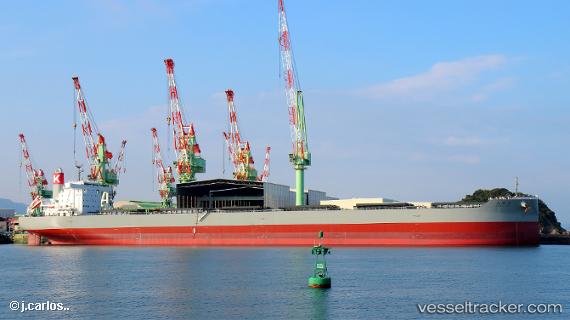
Shonai Maru
Current StatusWhere is the vessel?
Shonai Maru is currently in 50 nm W of Alcester Island, based on AIS data received less than 1h ago.
Latest AIS update:
Current position: 9.85670° S, 151.65306° E (50 nm W of Alcester Island)
Average speed (last 7 days): Loading…
Average speed (last 30 days): Loading…
Vessel profile: Shonai Maru is a Bulk Carrier with dimensions 43m x 249m.
This page combines live AIS, route history, probable destination signals, nearby traffic, and port activity for practical vessel monitoring.
The current position of vessel Shonai Maru is -9.85670 lat / 151.65306 lng. Updated: 2026-04-24 19:33:20 UTCDetails:
Live Vessel Shonai Maru Analytics (details, animations, etc.)
Recent AIS points (UTC):
2026-04-24 16:24:26 UTC · -9.35524, 151.48421 · SOG 10.5 kn · COG 159°2026-04-24 18:06:36 UTC · -9.62865, 151.57310 · SOG 10.2 kn · COG 164°
2026-04-24 19:00:45 UTC · -9.76809, 151.63292 · SOG 10 kn · COG 166°
2026-04-24 19:33:20 UTC · -9.85670, 151.65306 · SOG 10.2 kn · COG 162°