 vesseltracker.com
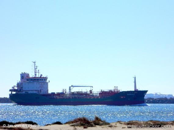
 EMIRALP
Current Status
Where is the vessel?
EMIRALP is currently in 11 nm NE of Crawley Down, based on AIS data received about 1h ago.
Latest AIS update:
Current position: 54.29213° N, 0.15004° E (11 nm NE of Crawley Down)
Average speed (last 7 days): Loading…
Average speed (last 30 days): Loading…
Vessel profile: EMIRALP is a Tanker with dimensions m x m.
This page combines live AIS, route history, probable destination signals, nearby traffic, and port activity for practical vessel monitoring.
The current position of vessel EMIRALP is 54.29213 lat / 0.15004 lng. Updated: 2026-04-30 23:57:13 UTCNearest reference points:
- Near Flamborough
- 28 nm N of Weaverthorpe
- Near Withernsea
Currently sailing under the flag of Malta ![]()
Details:
Live Vessel EMIRALP Analytics (details, animations, etc.)
Recent AIS points (UTC):
2026-04-30 19:58:21 UTC · 53.87998, 1.03184 · SOG 11 kn · COG 311°2026-04-30 21:55:22 UTC · 54.11837, 0.62763 · SOG 10 kn · COG 294°
2026-04-30 22:56:20 UTC · 54.20470, 0.38488 · SOG 9.7 kn · COG 296°
2026-04-30 23:57:13 UTC · 54.29213, 0.15004 · SOG 9.3 kn · COG 300°