 vesseltracker.com
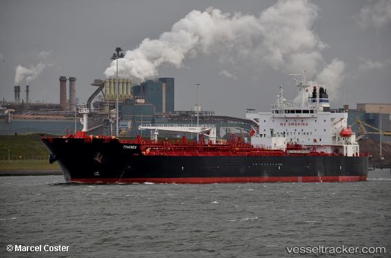
 CAPTAIN NIKOS
Current Status
Where is the vessel?
CAPTAIN NIKOS is currently in 15 nm S of Sheppard, based on AIS data received less than 1h ago.
Latest AIS update:
Current position: 29.06931° N, 94.69647° W (15 nm S of Sheppard)
Average speed (last 7 days): Loading…
Average speed (last 30 days): Loading…
Vessel profile: CAPTAIN NIKOS is a Tanker with dimensions m x m.
This page combines live AIS, route history, probable destination signals, nearby traffic, and port activity for practical vessel monitoring.
The current position of vessel CAPTAIN NIKOS is 29.06931 lat / -94.69647 lng. Updated: 2026-05-13 22:48:05 UTCNearest reference points:
- 12 nm SE of Port Bolivar
- Near Port Bolivar
- Near Texas City
Currently sailing under the flag of Marshall Islands ![]()
Details:
Live Vessel CAPTAIN NIKOS Analytics (details, animations, etc.)
Recent AIS points (UTC):
2026-05-13 19:30:04 UTC · 29.06798, -94.69699 · SOG 0.1 kn · COG 80°2026-05-13 20:21:04 UTC · 29.06832, -94.69697 · SOG 0 kn · COG 95°
2026-05-13 21:42:04 UTC · 29.06854, -94.69687 · SOG 0.1 kn · COG 104°
2026-05-13 22:48:05 UTC · 29.06931, -94.69647 · SOG 0.1 kn · COG 128°