 vesseltracker.com
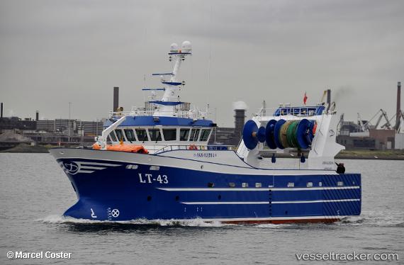
 Lt 43 Annalijdia
Current Status
Where is the vessel?
Lt 43 Annalijdia is currently in Near Flushing, based on AIS data received less than 1h ago.
Latest AIS update:
Current position: 51.44616° N, 3.59139° E (Near Flushing)
Average speed (last 7 days): Loading…
Average speed (last 30 days): Loading…
Vessel profile: Lt 43 Annalijdia is a Fishing Vessel with dimensions 37m x 9m.
This page combines live AIS, route history, probable destination signals, nearby traffic, and port activity for practical vessel monitoring.
The current position of vessel Lt 43 Annalijdia is 51.44616 lat / 3.59139 lng. Updated: 2026-05-14 17:26:04 UTCNearest reference points:
- Near Flushing
- Near BRESKENS
- Near Oost-Souburg
Currently sailing under the flag of United Kingdom ![]()
Details:
Live Vessel Lt 43 Annalijdia Analytics (details, animations, etc.)
Recent AIS points (UTC):
2026-05-14 14:09:26 UTC · 51.44615, 3.59136 · SOG 0 kn · COG 193°2026-05-14 16:08:35 UTC · 51.44615, 3.59136 · SOG 0 kn · COG 192°
2026-05-14 16:17:58 UTC · 51.44615, 3.59136 · SOG 0 kn · COG 189°
2026-05-14 17:26:04 UTC · 51.44616, 3.59139 · SOG 0 kn · COG 189°