 vesseltracker.com
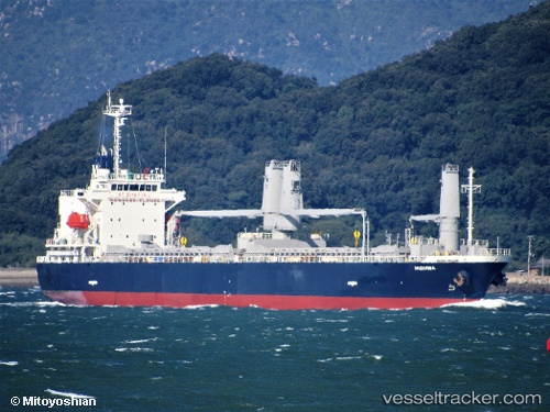
 Mishima
Current Status
Where is the vessel?
Mishima is currently in Near Batangas/Luzon, based on AIS data received less than 1h ago.
Latest AIS update:
Current position: 13.73074° N, 121.03515° E (Near Batangas/Luzon)
Average speed (last 7 days): Loading…
Average speed (last 30 days): Loading…
Vessel profile: Mishima is a General Cargo Ship with dimensions 127m x 127m.
This page combines live AIS, route history, probable destination signals, nearby traffic, and port activity for practical vessel monitoring.
The current position of vessel Mishima is 13.73074 lat / 121.03515 lng. Updated: 2026-05-15 10:22:53 UTCNearest reference points:
- Near Lobo
- 12 nm S of Lobo
- Near Nasugbu, Luzon
Currently sailing under the flag of Panama ![]()
Details:
Live Vessel Mishima Analytics (details, animations, etc.)
Recent AIS points (UTC):
2026-05-15 07:04:53 UTC · 13.73191, 121.03450 · SOG 0.1 kn · COG 206°2026-05-15 07:49:53 UTC · 13.73174, 121.03419 · SOG 0.1 kn · COG 196°
2026-05-15 09:52:53 UTC · 13.73056, 121.03515 · SOG 0.3 kn · COG 264°
2026-05-15 10:22:53 UTC · 13.73074, 121.03515 · SOG 0.1 kn · COG 263°