 vesseltracker.com
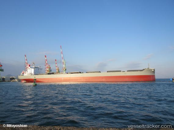
 Miyagawa Maru
Current Status
Where is the vessel?
Miyagawa Maru is currently in 149 nm N of Londolovit, based on AIS data received less than 1h ago.
Latest AIS update:
Current position: 0.58782° S, 152.39651° E (149 nm N of Londolovit)
Average speed (last 7 days): Loading…
Average speed (last 30 days): Loading…
Vessel profile: Miyagawa Maru is a Bulk Carrier with dimensions 250m x 43m.
This page combines live AIS, route history, probable destination signals, nearby traffic, and port activity for practical vessel monitoring.
The current position of vessel Miyagawa Maru is -0.58782 lat / 152.39651 lng. Updated: 2026-05-15 10:07:43 UTCCurrently sailing under the flag of Japan ![]()
Details:
Live Vessel Miyagawa Maru Analytics (details, animations, etc.)
Recent AIS points (UTC):
2026-05-15 07:16:45 UTC · -1.09637, 152.50368 · SOG 10.9 kn · COG 352°2026-05-15 07:58:46 UTC · -0.97179, 152.47462 · SOG 10.7 kn · COG 352°
2026-05-15 09:31:56 UTC · -0.69624, 152.41986 · SOG 10.9 kn · COG 355°
2026-05-15 10:07:43 UTC · -0.58782, 152.39651 · SOG 11.1 kn · COG 353°