 vesseltracker.com
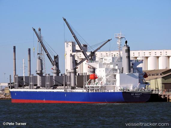
Se Nicky
Current StatusWhere is the vessel?
Se Nicky is currently in 54 nm NW of NOSHIRO, based on AIS data received about 1h ago.
Latest AIS update:
Current position: 40.61289° N, 138.92661° E (54 nm NW of NOSHIRO)
Average speed (last 7 days): Loading…
Average speed (last 30 days): Loading…
Vessel profile: Se Nicky is a Bulk Carrier with dimensions 30m x 180m.
This page combines live AIS, route history, probable destination signals, nearby traffic, and port activity for practical vessel monitoring.
The current position of vessel Se Nicky is 40.61289 lat / 138.92661 lng. Updated: 2026-05-15 10:25:36 UTCNearest reference points:
- 11 nm NW of Yokohama, Aomori
- Near Yokohama, Aomori
- 63 nm NW of Sado Shima Apt
Details:
Live Vessel Se Nicky Analytics (details, animations, etc.)
Recent AIS points (UTC):
2026-05-15 07:05:36 UTC · 40.98030, 139.59360 · SOG 11.4 kn · COG 236°2026-05-15 07:48:35 UTC · 40.90139, 139.44569 · SOG 11.4 kn · COG 235°
2026-05-15 09:54:15 UTC · 40.67348, 139.02808 · SOG 11.3 kn · COG 229°
2026-05-15 10:25:36 UTC · 40.61289, 138.92661 · SOG 11.4 kn · COG 229°