 vesseltracker.com
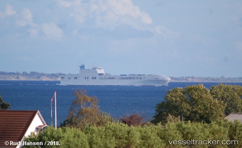
 LISMORE
Current Status
Where is the vessel?
LISMORE is currently in 21 nm N of Dunkerque, based on AIS data received less than 1h ago.
Latest AIS update:
Current position: 51.38430° N, 2.16900° E (21 nm N of Dunkerque)
Average speed (last 7 days): Loading…
Average speed (last 30 days): Loading…
Vessel profile: LISMORE is a Cargo with dimensions m x m.
This page combines live AIS, route history, probable destination signals, nearby traffic, and port activity for practical vessel monitoring.
The current position of vessel LISMORE is 51.38430 lat / 2.16900 lng. Updated: 2026-05-14 11:35:50 UTCNearest reference points:
- 15 nm E of RAMSGATE
- Near Dunkerque
- 14 nm SE of RAMSGATE
Currently sailing under the flag of Malta ![]()
Details:
Live Vessel LISMORE Analytics (details, animations, etc.)
Recent AIS points (UTC):
2026-05-14 08:25:06 UTC · 51.33217, 3.19318 · SOG 0 kn · COG 232°2026-05-14 10:14:01 UTC · 51.36640, 2.74202 · SOG 19.1 kn · COG 278°
2026-05-14 10:42:08 UTC · 51.37743, 2.56418 · SOG 17.6 kn · COG 271°
2026-05-14 11:35:50 UTC · 51.38430, 2.16900 · SOG 18.3 kn · COG 294°