 vesseltracker.com
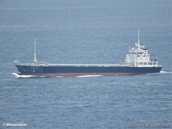
 Nichiwamaru
Current Status
Where is the vessel?
Nichiwamaru is currently in Near Shimonoseki, based on AIS data received less than 1h ago.
Latest AIS update:
Current position: 33.95978° N, 131.04356° E (Near Shimonoseki)
Average speed (last 7 days): Loading…
Average speed (last 30 days): Loading…
Vessel profile: Nichiwamaru is a General Cargo Ship with dimensions 75m x 12m.
This page combines live AIS, route history, probable destination signals, nearby traffic, and port activity for practical vessel monitoring.
The current position of vessel Nichiwamaru is 33.95978 lat / 131.04356 lng. Updated: 2026-05-14 10:27:30 UTCNearest reference points:
- Near Shimonoseki
- Near Ube
- Near Kokura
Currently sailing under the flag of Japan ![]()
Details:
Live Vessel Nichiwamaru Analytics (details, animations, etc.)
Recent AIS points (UTC):
2026-05-14 06:23:31 UTC · 33.75978, 131.97931 · SOG 11.8 kn · COG 267°2026-05-14 07:24:32 UTC · 33.78869, 131.73900 · SOG 12.1 kn · COG 277°
2026-05-14 07:24:32 UTC · 33.78869, 131.73900 · SOG 12.1 kn · COG 277°
2026-05-14 10:27:30 UTC · 33.95978, 131.04356 · SOG 11.7 kn · COG 318°