 vesseltracker.com
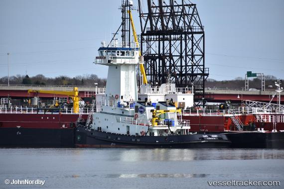
 Cape Henry
Current Status
Where is the vessel?
Cape Henry is currently in Near MELVILLE, based on AIS data received about 1h ago.
Latest AIS update:
Current position: 41.64597° N, 71.30863° W (Near MELVILLE)
Average speed (last 7 days): Loading…
Average speed (last 30 days): Loading…
Vessel profile: Cape Henry is a Tug with dimensions 145m x 24m.
This page combines live AIS, route history, probable destination signals, nearby traffic, and port activity for practical vessel monitoring.
The current position of vessel Cape Henry is 41.64597 lat / -71.30863 lng. Updated: 2026-05-13 11:28:39 UTCNearest reference points:
- Near MELVILLE
- Near DAVISVILLE
- Near East Providence
Currently sailing under the flag of USA ![]()
Details:
Live Vessel Cape Henry Analytics (details, animations, etc.)
Recent AIS points (UTC):
2026-05-13 06:24:33 UTC · 41.80219, -71.39576 · SOG 0 kn · COG 227°2026-05-13 09:38:38 UTC · 41.80167, -71.39500 · SOG 0 kn · COG -1°
2026-05-13 10:29:52 UTC · 41.78206, -71.37301 · SOG 9.4 kn · COG 160°
2026-05-13 11:28:39 UTC · 41.64597, -71.30863 · SOG 9.5 kn · COG 162°