 vesseltracker.com
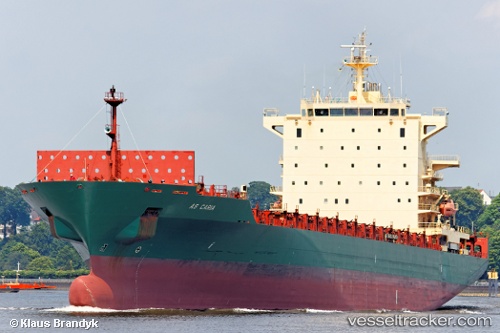
Vessel Harmony N IMO: 9309411, MMSI: 636019289 Container Ship
UTC, 41.97315, 31.82442, course: 252, speed: 10.1
UTC, 41.90142, 31.51957, course: 255, speed: 9.9
2026-03-05 01:46:35 UTC, 41.81299, 31.12477, course: 252, speed: 10.1
Live Vessel Harmony N Analytics (details, animations, etc.)
Live AIS position: UTC. 34 nm NW of Erdemir), updated 2026-03-05 01:46:35 UTC.Find the position of the vessel Harmony N on the map. The latter are known coordinates and path.
marine traffic ship tracker show on live map
The current position of vessel Harmony N is 41.81299 lat / 31.12477 lng. Updated: 2026-03-05 01:46:35 UTCCurrently sailing under the flag of Liberia
Harmony N built in 2006 year
Deadweight:
39420 tDetails:
Last coordinates of the vessel:
UTC, 42.07347, 32.25776, course: 252, speed: 9.9UTC, 41.97315, 31.82442, course: 252, speed: 10.1
UTC, 41.90142, 31.51957, course: 255, speed: 9.9
2026-03-05 01:46:35 UTC, 41.81299, 31.12477, course: 252, speed: 10.1