 vesseltracker.com
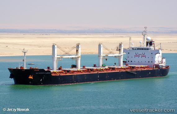
Find the position of the vessel Ras Ghumays i on the map. The latter are known coordinates and path.
marine traffic ship tracker show on live map
The current position of vessel Ras Ghumays i is 18.8991 lat / 72.8676 lng. Updated: 2024-11-24 20:11:04 UTCCurrently sailing under the flag of Liberia
Ras Ghumays i built in 2011 year
Port of registry:
Monrovia (capital city of Liberia)Deadweight:
57423 tPayload_mass:
57423 tonneGross tonnage:
33202Service entry:
2011-01-01T00:00:00ZDetails:
Last coordinates of the vessel:
UTC, 18.898, 72.8679, course: 59, speed: 0.1UTC, 18.8989, 72.8676, course: 93, speed: 0.1
UTC, 18.8995, 72.8677, course: 118, speed: 0
2024-11-24 20:11:04 UTC, 18.8991, 72.8676, course: 104, speed: 0.2