 VIREL
VIREL
Current Status
Where is the vessel?
VIREL is currently in 16 nm W of Thorntonbank, based on AIS data received about 16h ago.
Latest AIS update:
Current position: 51.69263° N, 2.49899° E (16 nm W of Thorntonbank)
Average speed (last 7 days): Loading…
Average speed (last 30 days): Loading…
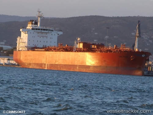
Vessel profile: VIREL is a Oil/Chemical Tanker with dimensions m x m.
This page combines live AIS, route history, probable destination signals, nearby traffic, and port activity for practical vessel monitoring.
The current position of vessel VIREL is 51.69263 lat / 2.49899 lng. Updated: 2026-05-22 23:28:47 UTCNearest reference points:
- 13 nm NW of Middelkerke
- 21 nm S of Craven Arms
- Near Thorntonbank
Currently sailing under the flag of Cameroon ![]()
Details:
Live Vessel VIREL Analytics (details, animations, etc.)
Recent AIS points (UTC):
2026-05-22 20:01:45 UTC · 51.14229, 1.83604 · SOG 13 kn · COG 59°2026-05-22 21:43:26 UTC · 51.41733, 2.12760 · SOG 13 kn · COG 10°
2026-05-22 23:10:16 UTC · 51.64197, 2.44356 · SOG 12 kn · COG 39°
2026-05-22 23:28:47 UTC · 51.69263, 2.49899 · SOG 11.8 kn · COG 35°