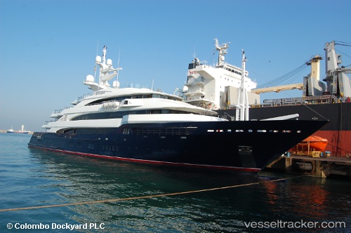
Amevi
Current StatusWhere is the vessel?
Amevi is currently in 36 nm NW of Larache, based on AIS data received about 14h ago.
Latest AIS update:
Current position: 35.53912° N, 6.79291° W (36 nm NW of Larache)
Average speed (last 7 days): Loading…
Average speed (last 30 days): Loading…
Vessel profile: Amevi is a Service Ship with dimensions 12m x 80m.
This page combines live AIS, route history, probable destination signals, nearby traffic, and port activity for practical vessel monitoring.
The current position of vessel Amevi is 35.53912 lat / -6.79291 lng. Updated: 2026-05-22 22:34:24 UTCNearest reference points:
- Near Gibraltar
- 45 nm W of Gibraltar
- Near Conil de la Frontera
Details:
Live Vessel Amevi Analytics (details, animations, etc.)
Recent AIS points (UTC):
2026-05-22 19:07:35 UTC · 35.30910, -7.45718 · SOG 11.3 kn · COG 85°2026-05-22 20:22:54 UTC · 35.31120, -7.14258 · SOG 11.3 kn · COG 85°
2026-05-22 22:14:25 UTC · 35.49582, -6.82612 · SOG 9.4 kn · COG 36°
2026-05-22 22:34:24 UTC · 35.53912, -6.79291 · SOG 9.1 kn · COG 37°