 ADELAAR
Current Status
Where is the vessel?
ADELAAR is currently in Near REES, based on AIS data received about 15h ago.
Latest AIS update:
Current position: 51.70791° N, 6.44258° E (Near REES)
Average speed (last 7 days): Loading…
Average speed (last 30 days): Loading…
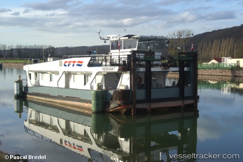
Vessel profile: ADELAAR is a Cargo with dimensions m x m.
This page combines live AIS, route history, probable destination signals, nearby traffic, and port activity for practical vessel monitoring.
The current position of vessel ADELAAR is 51.70791 lat / 6.44258 lng. Updated: 2026-05-19 08:03:59 UTCNearest reference points:
- Near Grieth
- Near Emmelsum
- Near MILLINGEN AAN DE RIJN
Currently sailing under the flag of Netherlands ![]()
Details:
Live Vessel ADELAAR Analytics (details, animations, etc.)
Recent AIS points (UTC):
2026-05-19 04:13:41 UTC · 51.75381, 6.37023 · SOG 4 kn · COG -1°2026-05-19 06:02:11 UTC · 51.73171, 6.41726 · SOG 0 kn · COG -1°
2026-05-19 07:55:37 UTC · 51.70980, 6.42849 · SOG 3.8 kn · COG -1°
2026-05-19 08:03:59 UTC · 51.70791, 6.44258 · SOG 3.6 kn · COG -1°