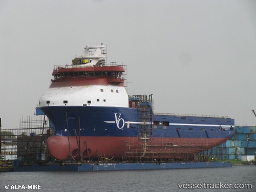
 REM CETUS
Current Status
Where is the vessel?
REM CETUS is currently in 39 nm SW of Beryl Platform, based on AIS data received about 15h ago.
Latest AIS update:
Current position: 59.07500° N, 0.65333° E (39 nm SW of Beryl Platform)
Average speed (last 7 days): Loading…
Average speed (last 30 days): Loading…
Vessel profile: REM CETUS is a Offshore Supply Ship with dimensions m x m.
This page combines live AIS, route history, probable destination signals, nearby traffic, and port activity for practical vessel monitoring.
The current position of vessel REM CETUS is 59.07500 lat / 0.65333 lng. Updated: 2026-05-19 05:55:31 UTCNearest reference points:
- Near Alba Oil Field
- 10 nm N of Leadon
- 19 nm W of Curlew
Currently sailing under the flag of Cyprus ![]()
Details:
Live Vessel REM CETUS Analytics (details, animations, etc.)
Recent AIS points (UTC):
2026-05-19 01:50:00 UTC · 59.38475, 1.24664 · SOG 6.9 kn · COG 223°2026-05-19 03:59:55 UTC · 59.21301, 0.90920 · SOG 6 kn · COG 219°
2026-05-19 04:13:55 UTC · 59.19667, 0.87709 · SOG 5.8 kn · COG 214°
2026-05-19 05:55:31 UTC · 59.07500, 0.65333 · SOG 6 kn · COG -1°