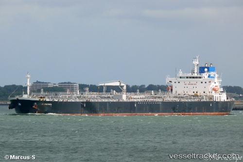
 TORM EMILIE
Current Status
Where is the vessel?
TORM EMILIE is currently in Near Hunsdon, based on AIS data received about 14h ago.
Latest AIS update:
Current position: 51.78361° N, 3.32104° E (Near Hunsdon)
Average speed (last 7 days): Loading…
Average speed (last 30 days): Loading…
Vessel profile: TORM EMILIE is a Oil Products Tanker with dimensions m x m.
This page combines live AIS, route history, probable destination signals, nearby traffic, and port activity for practical vessel monitoring.
The current position of vessel TORM EMILIE is 51.78361 lat / 3.32104 lng. Updated: 2026-05-23 04:20:54 UTCNearest reference points:
- Near Hunsdon
- 12 nm NE of Hunsdon
- Near Thorntonbank
Currently sailing under the flag of Denmark ![]()
Details:
Live Vessel TORM EMILIE Analytics (details, animations, etc.)
Recent AIS points (UTC):
2026-05-23 01:50:52 UTC · 51.78012, 3.31740 · SOG 0 kn · COG 56°2026-05-23 01:53:53 UTC · 51.78017, 3.31733 · SOG 0 kn · COG 56°
2026-05-23 04:08:48 UTC · 51.78419, 3.31927 · SOG 0.6 kn · COG 183°
2026-05-23 04:20:54 UTC · 51.78361, 3.32104 · SOG 0 kn · COG 227°