 SAPEUR
Current Status
Where is the vessel?
SAPEUR is currently in Near Brest, based on AIS data received about 14h ago.
Latest AIS update:
Current position: 48.37003° N, 4.51357° W (Near Brest)
Average speed (last 7 days): Loading…
Average speed (last 30 days): Loading…
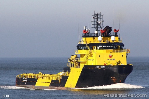
Vessel profile: SAPEUR is a Anchor Handling Vessel with dimensions m x m.
This page combines live AIS, route history, probable destination signals, nearby traffic, and port activity for practical vessel monitoring.
The current position of vessel SAPEUR is 48.37003 lat / -4.51357 lng. Updated: 2026-05-18 19:59:58 UTCNearest reference points:
- Near Brest
- Near Le Relecq-Kerhuon
- Near Perros
Details:
Live Vessel SAPEUR Analytics (details, animations, etc.)
Recent AIS points (UTC):
2026-05-18 16:20:58 UTC · 48.37003, -4.51363 · SOG 0 kn · COG 318°2026-05-18 17:56:57 UTC · 48.37007, -4.51358 · SOG 0 kn · COG 318°
2026-05-18 19:38:58 UTC · 48.37002, -4.51360 · SOG 0 kn · COG 318°
2026-05-18 19:59:58 UTC · 48.37003, -4.51357 · SOG 0 kn · COG 318°