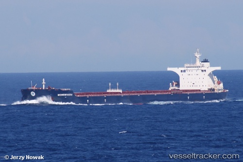
 Monemvasia
Current Status
Where is the vessel?
Monemvasia is currently in 72 nm SE of Labuan Haji, based on AIS data received about 14h ago.
Latest AIS update:
Current position: 3.81249° N, 119.62058° E (72 nm SE of Labuan Haji)
Average speed (last 7 days): Loading…
Average speed (last 30 days): Loading…
Vessel profile: Monemvasia is a Bulk Carrier with dimensions 292m x 292m.
This page combines live AIS, route history, probable destination signals, nearby traffic, and port activity for practical vessel monitoring.
The current position of vessel Monemvasia is 3.81249 lat / 119.62058 lng. Updated: 2026-05-22 19:33:31 UTCNearest reference points:
- 80 nm SE of Labuan Haji
- 43 nm E of Sibuko Bay
- 81 nm E of Muara Pantai
Currently sailing under the flag of Malta ![]()
Details:
Live Vessel Monemvasia Analytics (details, animations, etc.)
Recent AIS points (UTC):
2026-05-22 16:04:12 UTC · 3.16424, 119.59914 · SOG 11.6 kn · COG -1°2026-05-22 18:17:20 UTC · 3.58623, 119.61190 · SOG 10.4 kn · COG 2°
2026-05-22 19:28:10 UTC · 3.79637, 119.62083 · SOG 10.7 kn · COG 359°
2026-05-22 19:33:31 UTC · 3.81249, 119.62058 · SOG 10.8 kn · COG 1°