Shalder
Current StatusWhere is the vessel?
Shalder is currently in Near TOFT, based on AIS data received about 14h ago.
Latest AIS update:
Current position: 60.44688° N, 1.27330° W (Near TOFT)
Average speed (last 7 days): Loading…
Average speed (last 30 days): Loading…
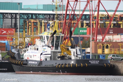
Vessel profile: Shalder is a Tug with dimensions 12m x 32m.
This page combines live AIS, route history, probable destination signals, nearby traffic, and port activity for practical vessel monitoring.
The current position of vessel Shalder is 60.44688 lat / -1.27330 lng. Updated: 2026-05-19 05:44:42 UTCNearest reference points:
- 32 nm NW of Eshaness
- 36 nm NW of Ham Voe, Foula
- Near Tingwall
Details:
Live Vessel Shalder Analytics (details, animations, etc.)
Recent AIS points (UTC):
2026-05-19 01:32:38 UTC · 60.44687, -1.27344 · SOG 0 kn · COG 314°2026-05-19 03:44:38 UTC · 60.44686, -1.27335 · SOG 0 kn · COG 314°
2026-05-19 04:53:39 UTC · 60.44685, -1.27337 · SOG 0 kn · COG 314°
2026-05-19 05:44:42 UTC · 60.44688, -1.27330 · SOG 0 kn · COG 314°