 Soniland
Current Status
Where is the vessel?
Soniland is currently in 16 nm N of Cambs, based on AIS data received about 15h ago.
Latest AIS update:
Current position: 55.39833° N, 1.57833° E (16 nm N of Cambs)
Average speed (last 7 days): Loading…
Average speed (last 30 days): Loading…
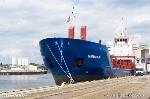
Vessel profile: Soniland is a Multi Purpose Carrier with dimensions 90m x 90m.
This page combines live AIS, route history, probable destination signals, nearby traffic, and port activity for practical vessel monitoring.
The current position of vessel Soniland is 55.39833 lat / 1.57833 lng. Updated: 2026-05-20 02:06:14 UTCNearest reference points:
- 28 nm N of Weaverthorpe
- 26 nm W of Cleghorn
- 19 nm W of Curlew
Currently sailing under the flag of Gibraltar ![]()
Soniland built in 1997 year
Deadweight:
4085 tDetails:
Live Vessel Soniland Analytics (details, animations, etc.)
Recent AIS points (UTC):
2026-05-19 22:45:14 UTC · 55.58667, 2.48333 · SOG 10 kn · COG -1°2026-05-19 23:51:15 UTC · 55.52667, 2.19833 · SOG 8 kn · COG -1°
2026-05-20 01:00:14 UTC · 55.46667, 1.88500 · SOG 9 kn · COG -1°
2026-05-20 02:06:14 UTC · 55.39833, 1.57833 · SOG 10 kn · COG -1°